
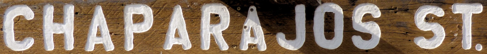
Chaparajos St
.9 miles of paved road connecting the far end of Riata Way and Tapadero

Chaparajos running left to right just past the closest two trees, viewed from the north end of Riata Way (Nov)

Chaparajos up the hill from Riata Way going south/west. Trees on the left and right of the road are the "closest trees" from the prior slide (Nov)

Chaparajos turning up hill from Tapadero going north/east. (Nov)

Chaparajos going north/east toward the top of the hill. Riata Way on the other side (Nov)